
The navigation training started with learning some theory at a cafe in Eastbourne. We stocked up on breakfast and coffee while learning about map features, coordinates, how to use a compass and the basics of taking a bearing.
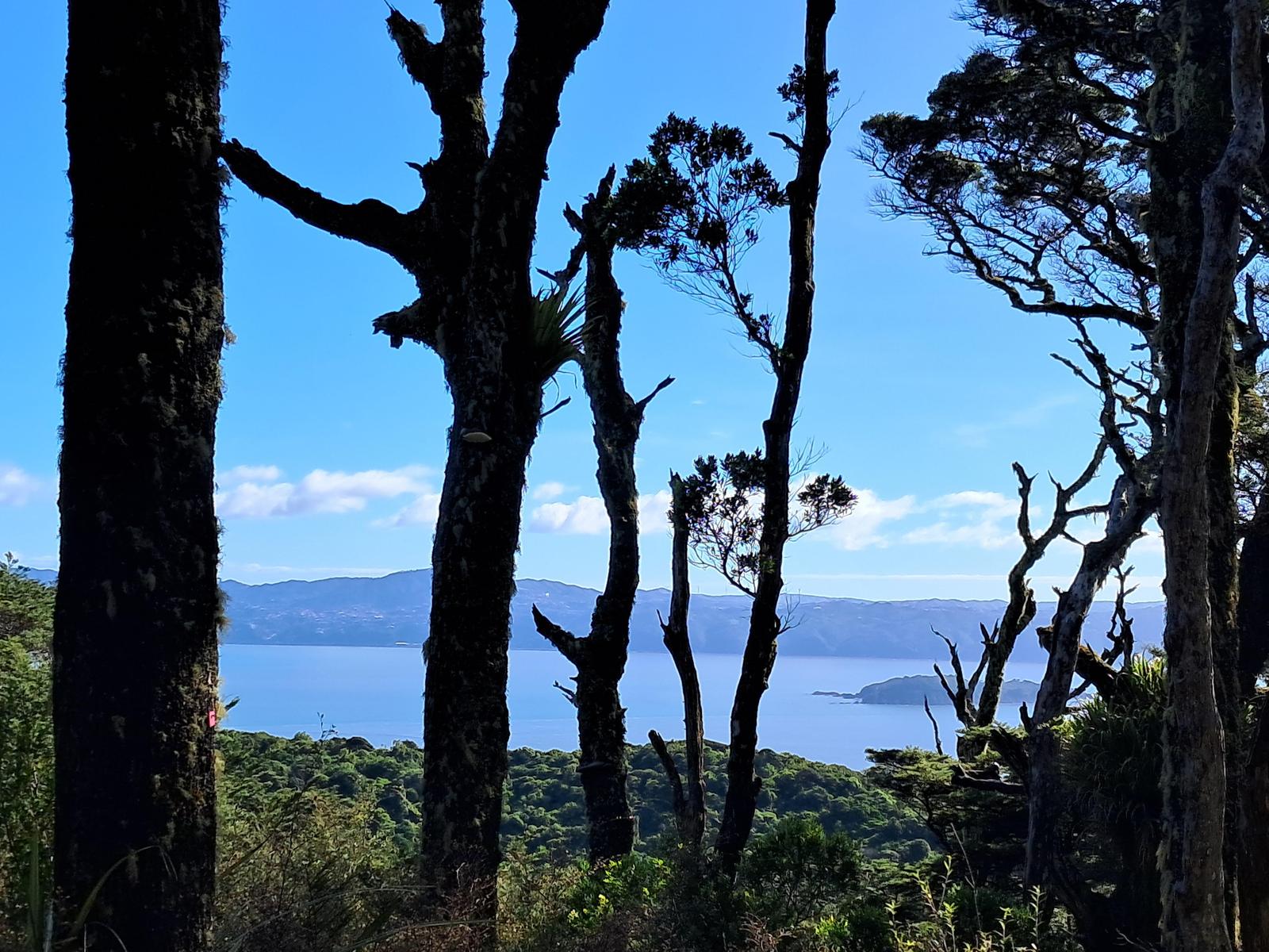
We then headed up into the Northern Forest section of East Harbour Regional Park (See: https://www.wellingtonnz.com/visit/trails/east-harbour-regional-park).
On the way we focused on identifying features of the land, timing, elevation and anticipating what we expected to see along the way.
Our task was to find two huts using map coordinates.
After going off-track, we took turns navigating and learnt how difficult it is to locate and consistently follow a spur down hill.
With lots of guidance from Anne, we managed to locate the first hut.
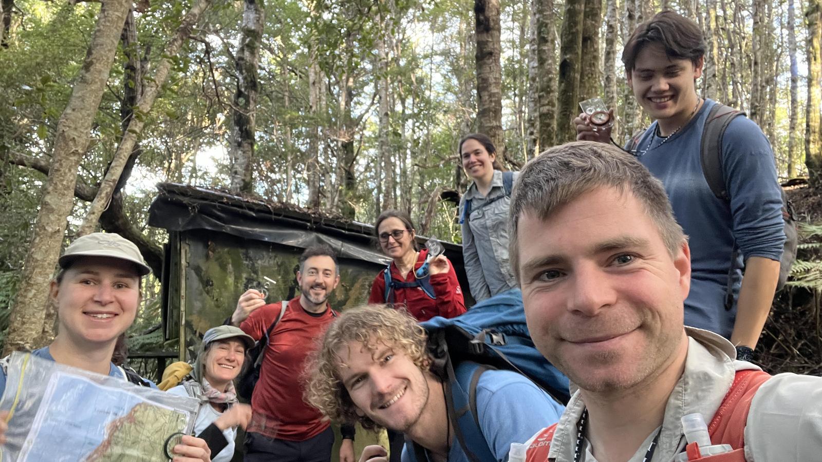
From Hut no. 1, we bush-bashed down to the track and decided on an entry point to search for the next hut. We were lucky enough to find a trap line that led straight to Hut no. 2. From here, it was a short distance back, via the track, to our starting point.
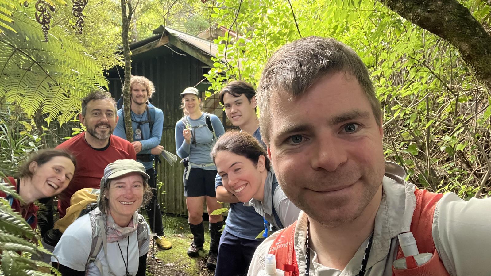
Thanks to Anne, for a really informative day. Great to have an additional skill for some off- track travel and to feel a little safer in the bush should things go awry.